What can I see and do in the Bitterroot Mountains?
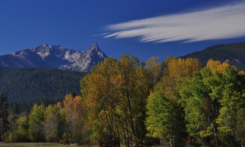
- Trapper Peak
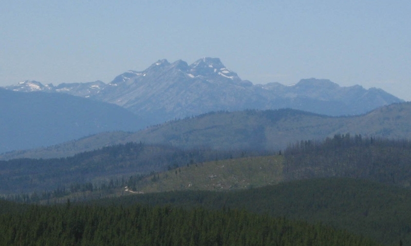
The difficult but very doable hike to the top of Trapper Peak, 10,157 ft, makes is a popular feat for many visitors. - Camping and Cabin Rentals
There are many places to camp within the Bitterroot Mountains. Front country campgrounds are easy to access right from the valley. A great alternative is staying in a Forest Service Cabin. - Hiking
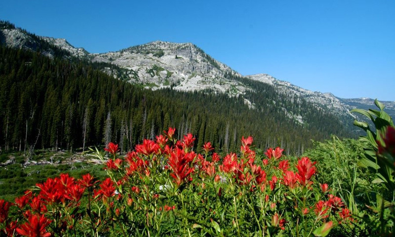
Just east of Corvallis, head to Summerdale Road for a short and sweet hike to Soft Rock. Blodgett Canyon Overlook is also a great option. If you are looking for something a little longer, hike up to St. Mary's Peak, just west of Stevensville. - Rock Climbing
Try sport climbs in Kootenai Canyon or big wall climbs in Blodgett Canyon. Ice climbing is also popular in Blodgett Canyon. - River Rafting
Two rivers mark the edges of the mountain range. Enjoy a guided day trip along the lush Lochsa River or do a multi-day trip on the Selway, right through the Selway Bitterroot Wilderness. - Winter Recreation
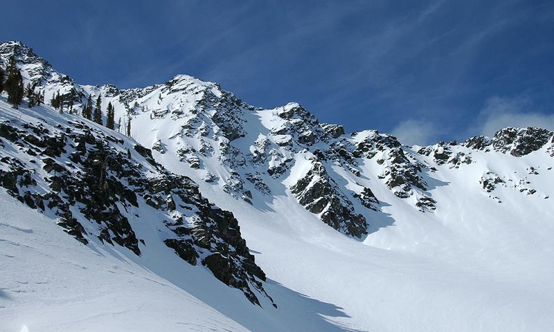
Head to Lolo Pass and enjoy snowmobiling and snowshoeing. Cross country skiers can explore trails around Lake Como at the base of the mountains.
Where are the Bitterroot Mountains?
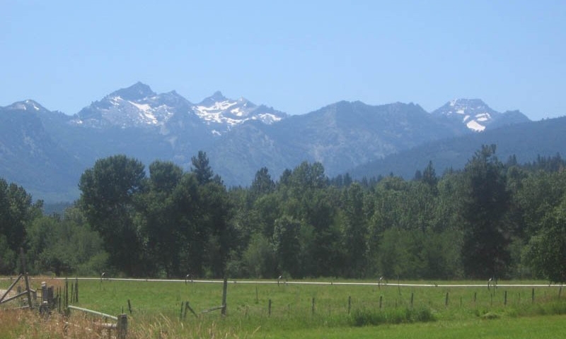
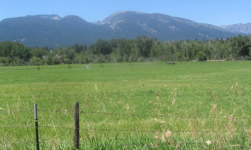
The Bitterroot Mountains create the western border to the Bitterroot Valley. They are bordered on the northern edge by Lolo Creek and the Lolo Pass Highway (Highway 12) and on the southern edge by the Salmon River. The western border of the mountains is marked by the Selway and Lochsa Rivers. You can easily access the mountains from the Bitterroot Valley via a number of canyons.
When are the Bitterroots accessible?
The snow is the only thing that makes access a little more difficult. In the winter, head to Lolo Pass or up any canyon along its eastern front.
Who can I call if I have more questions?
The Bitterroot Mountains are almost entirely encompassed by the Bitterroot National Forest. Visit the Bitterroot NFS Website or give them a call at (406) 363-7100.

